Thursday, May 16, 2013
Wildwood planting
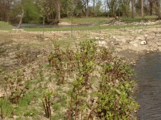
The picture from Frank Skala shows the rerouting of the creek. Frank notes that the water in the lower right is diverted to the oxbow channel and backwater areas by the 12 foot high berm/embankment. The water comes out of the oxbow at the top left of the picture and resumes its course out to the mouth of the creek and Lake Erie. In the event of a 10 year flood, and superstorm Sandy came close, the water would go over the 12 foot high berm.
Subscribe to:
Post Comments (Atom)


No comments:
Post a Comment